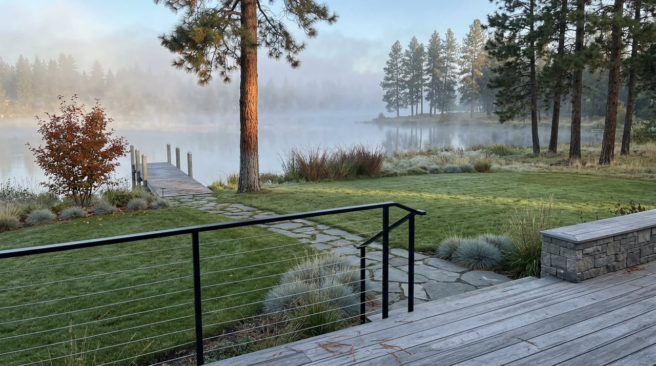
The Boise River at Laguna Pointe Doesn't Slow Down for Fall. Someone Turns It Down.
September 3, 2026
September 3, 2026
Walk the greenbelt path along Laguna Pointe's river frontage on the first Saturday of October and the Boise River looks like a different river than it did over Labor Day weekend. The current has gone quiet. Gravel bars that were three feet underwater in August are now dry enough to stand on. The water runs clearer, almost glassy in places, and the roar that used to compete with conversation on the path has dropped to something closer to a murmur.
Most residents chalk this up to the season turning, cooler nights, less runoff, nature doing its autumn thing. That's not what's happening. The river along Laguna Pointe's mile of frontage doesn't slow down because summer ends. It slows down because someone at a federal agency decides, on a schedule that repeats almost every year, to stop sending as much water downstream.
The Boise River running past Laguna Pointe is not a free-flowing river in the way the name suggests. It's the outflow of a three-reservoir system: Anderson Ranch, Arrowrock, and Lucky Peak, stacked upstream of the valley. The U.S. Bureau of Reclamation owns Anderson Ranch and Arrowrock. The Army Corps of Engineers owns Lucky Peak, the reservoir closest to the city. Together they manage releases to meet irrigation demand all summer, then dial back once that demand disappears.
That dial-back has a predictable window. According to reporting from Capital Press, a hydrologist with the Bureau of Reclamation's Middle Snake Field Office confirmed that irrigation demand from the Boise River system is typically met only through the first or second week of October, in line with long-term average shutoff timetables. Once farms stop pulling water for the season, reservoir managers have no reason to keep releases high, and flow through Eagle drops accordingly.
"Irrigation demand will still be met until the first or second week of October," in line with long-term average shutoff timetables.
That's not a one-year fluke tied to drought or a wet winter. It's the standard operating rhythm of a river managed for agriculture first and recreation second. The greenbelt view outside a Laguna Pointe living room is a downstream effect of decisions made at three dams that most residents will never see.
The scale of the swing is bigger than most people walking the path would guess. Flow rates on the Boise River are measured at the Glenwood Bridge gauge, and a few benchmarks from Ada County's own flood planning documents put the seasonal range in perspective.
| Condition | Flow at Glenwood Bridge |
|---|---|
| Flood stage | 7,000 cfs |
| Bank-full | 6,500 cfs |
| Typical winter maintenance target | 240 cfs (reduced to 210 cfs in the dry 2021-2022 winter) |
Summer irrigation season can push flow into the thousands of cubic feet per second. By deep winter, the river is running at a small fraction of that, a maintenance flow the Bureau of Reclamation holds under a dedicated water right specifically to keep the lower river alive for fish. October sits in between, the month when the number is falling fast from the top end toward the bottom, which is exactly why the change feels so sudden if you're only checking in on your evening walk once a week.
Two irrigation canals do a lot of that early work. Ada County's flood FAQ lists the New York Canal's maximum diversion at 2,400 cubic feet per second and the Ridenbaugh Canal's at 600 cfs. Those diversions and the upstream reservoir releases wind down within roughly the same two or three week window every fall, which is why the whole transformation along the greenbelt happens fast rather than fading in gradually the way a change in weather would.
For a Laguna Pointe resident, the practical version of all this shows up in small, specific ways. The gravel bars along the community's river frontage that disappear every June reappear by mid-October, often exposing sandbars that make good footing for a dog that wants to wade rather than swim. The current eases enough that a paddleboard drifts instead of fights. Photos taken from the same spot on the path in August and November look like two different rivers, not because of foliage, but because the water column itself is shallower and slower.
Anyone who fishes the open river, rather than the community's private lake, will notice the difference too. Lower, clearer flow changes where fish hold and how visible they are to an angler working the bank near the greenbelt. It's the same river, but the version residents see in late fall is a calmer, more legible one than the version they saw in July.
It's worth separating two bodies of water that sit right next to each other but behave nothing alike. Laguna Pointe's 43-acre private lake, the one with the sand beach, the gazebo, the fire pits, and the floating dock residents paddleboard out to on the community's island, is a self-contained amenity. It holds its stocked population of largemouth and smallmouth bass, bluegill, and trout independent of what the Bureau of Reclamation decides to do upstream. Residents who spend their October afternoons non-motorized boating out to the island or casting from the shoreline won't see the same swing that shows up along the open river channel a few hundred yards away.
The river is the part of the neighborhood that answers to a federal release schedule. The lake is the part that doesn't. Knowing which is which saves a resident from wondering why one body of water looks completely different in November while the other looks exactly the same as it did in August.
The reason this shutoff lands in almost the same week every year, rather than drifting with whatever the weather happens to be doing, comes down to competing water rights that don't change much year over year. Reclamation holds a storage water right specifically for lower Boise River streamflow maintenance, and Idaho Fish and Game weighs in on how that water gets used, because winter flow levels matter directly to trout survival. When Idaho Fish and Game agreed to a rare reduction in that maintenance flow during the dry 2021-2022 winter, the agency's regional fisheries manager described winter as one of the most critical periods for young trout heading into their first cold season, which is exactly why the agency treats that baseline flow as close to untouchable in most years. That same balancing act, between farms that need water in summer and fish that need it in winter, plus a smaller obligation to support salmon and steelhead migration downstream, is what locks the October transition into roughly the same calendar window most years.
None of this is secret information. The Bureau of Reclamation posts real-time flow data for the Boise River system publicly, and anyone curious about exactly how much water is moving past their own stretch of greenbelt on a given afternoon can check it directly rather than guessing from the riverbank.
I've walked that stretch of greenbelt across a lot of Octobers now, and the drop in the river still catches people off guard even after they've lived at Laguna Pointe for years. It's one of those neighborhood details that nobody explains when you move in, because it isn't in the HOA packet or the builder's brochure. It's just something the valley does every fall, on a schedule set by engineers a hundred miles upstream.
If you're the kind of resident who likes knowing the why behind the things you see on your daily walk, that's the version of local knowledge I try to pass along. And if a friend or neighbor at Laguna Pointe ever mentions they're thinking about their next move in the Eagle market, I'd be glad to be the person they call. You can always reach out to Georgie Pitron directly, browse the Laguna Pointe neighborhood page, or check the community's own greenbelt etiquette guide before your next walk along the water.
Stay up to date on the latest real estate trends.

Get assistance in determining current property value, crafting a competitive offer, writing and negotiating a contract, and much more. Contact her today.